Geographic location of Warsaw
Geographic location of Warsaw
We invite you to familiarize yourself with the geographical data of the Polish capital. The farthest points of the Warsaw border are indicated in the attached table. It is worth noting that the length of Warsaw is almost the same, from south to north, and from west to east - about 30 kilometers.
|
In degrees, minutes and seconds |
|
|
|
The furthest points of Warsaw border: |
|
|
|
in the north (northern geographic latitude) |
52o22’05’’ |
. |
|
in the south (northern geographic latitude) |
52o05’52’’ |
. |
|
in the west (eastern geographic longitude) |
20o51’06’’ |
. |
|
in the east (eastern geographic longitude) |
21o16’16’’ |
. |
|
Extent: |
|
|
|
from south to north |
0o16’13’’ |
30.038 |
|
from west to east |
0o25’10’’ |
from 28.685 km in the south to 28.511 km in the north |
Geographic coordinates in degrees with decimals: 52.230678°; 21.006699°
S o u r c e: data of Warsaw City Hall.
Blog
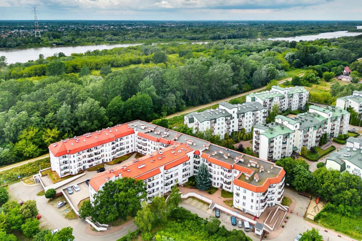
Białołęka
Białołęka is one of the youngest districts in Warsaw considering the age of its inhabitants. About two-thirds of Białołęki residents live in multi-storey residential complexes.
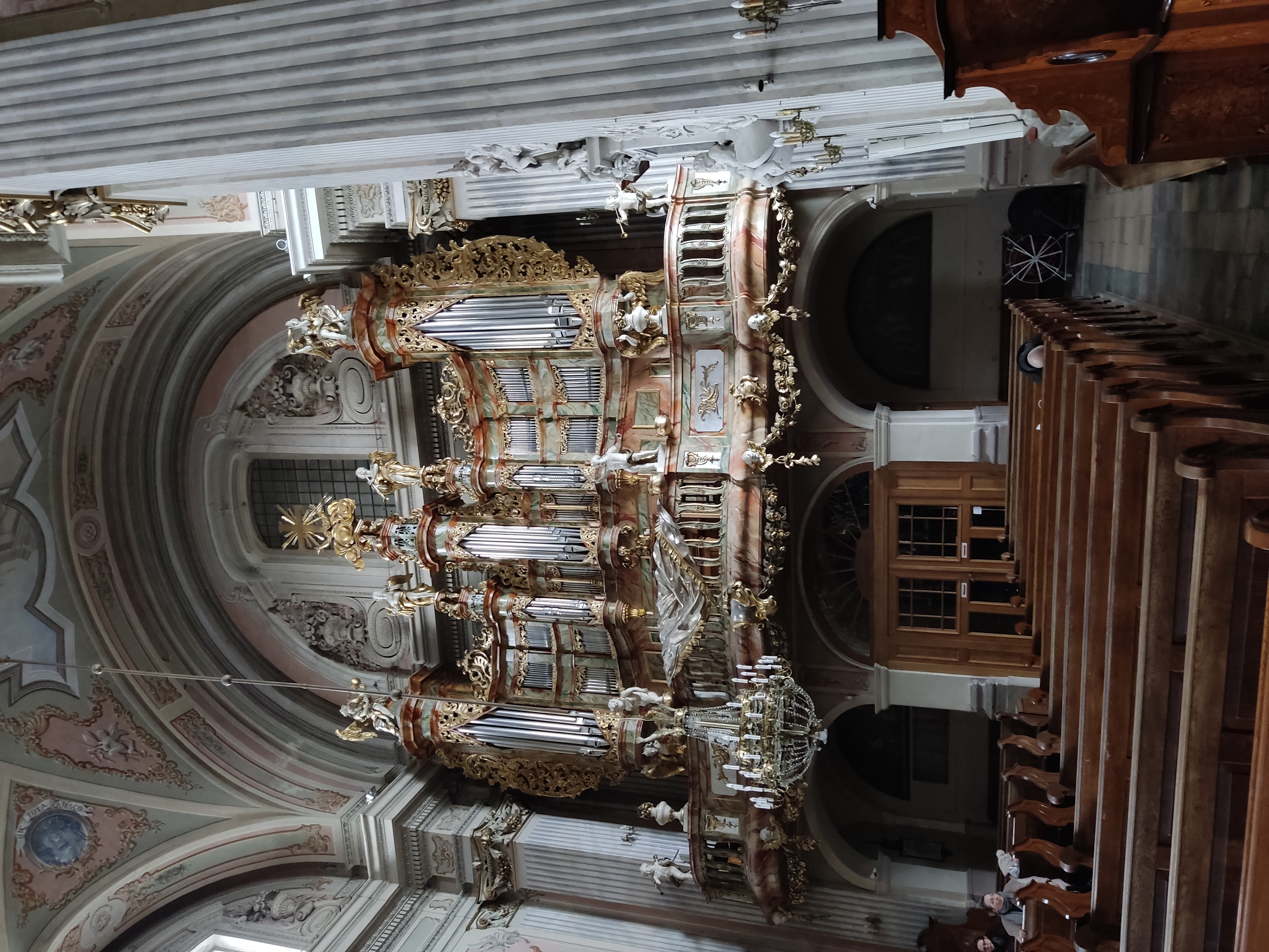
Churches and temples in the Old Town of Warsaw
The Old Town of Warsaw has a rich historical heritage, including many churches and temples, which are not only religious places, but also significant historical and architectural monuments.

Polish residential real estate market forecast for 2026
Polish residential real estate market forecast for 2026